Table of contents Map & elevation profiles
Other adventures
Click on any photo to enlarge it.
Sept. 17-27,
2011
.
399 miles
|
SIERRA SAMPLER bike trip 2011 Table of contents Map & elevation profiles Other adventures Click on any photo to enlarge it. |
LYNNE &
RICK Sept. 17-27, 2011 . 399 miles |
| Monday, Sept. 26 -- Blue Lakes Road ride -- 65 miles |
|
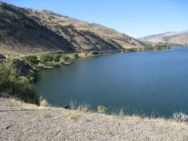
We got route recommendations from a bike shop near
the Nevada-California state line and set out from Zephyr Cove on a variation
of the
South Tahoe/Blue Lakes ride. 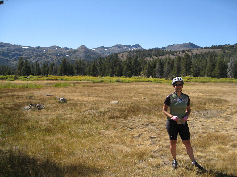 Blue Lakes Road
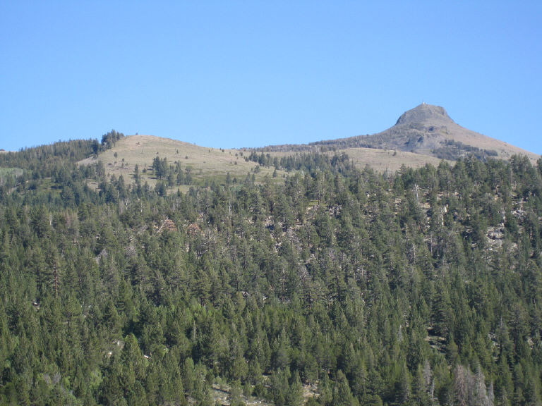
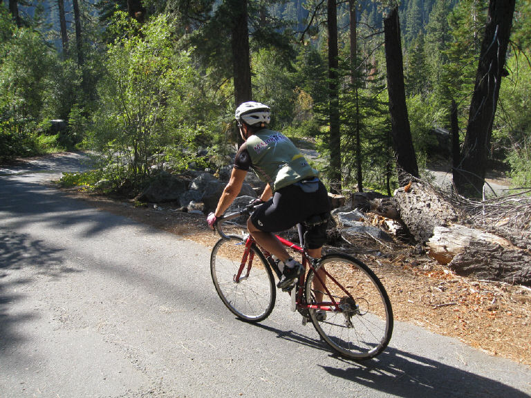
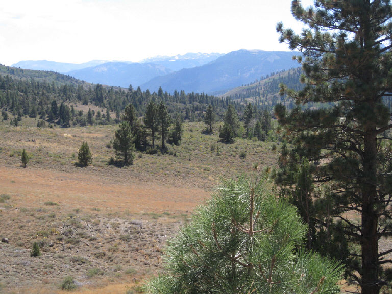
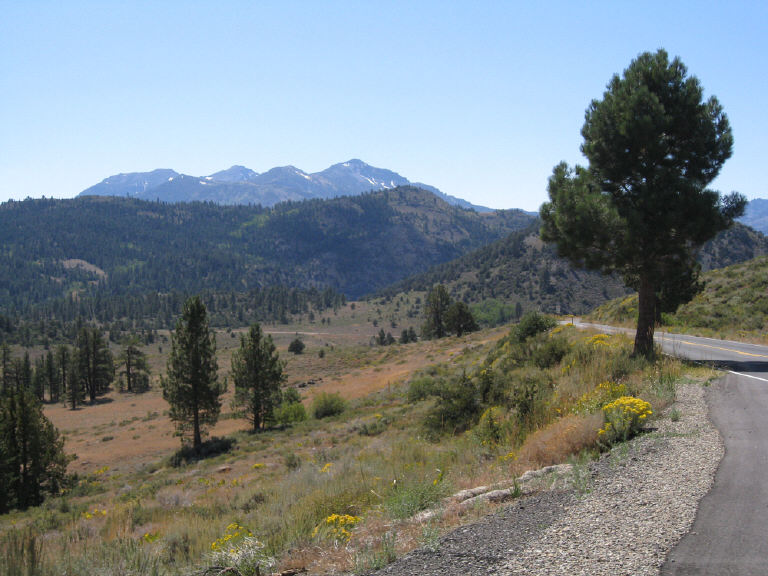
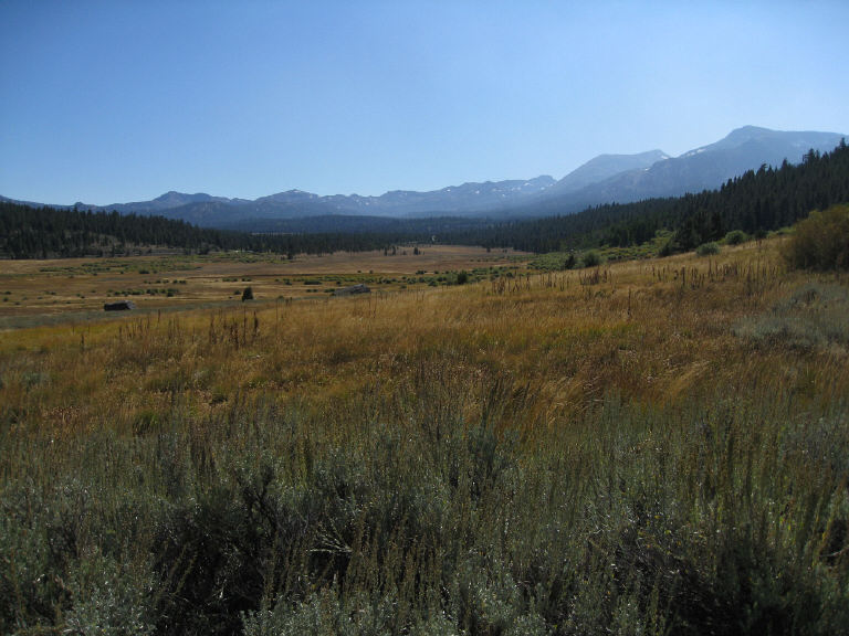 After going out-and-back 5 miles each way on Blue Lakes Road,
we returned on Highway 88 to Picketts Junction at Highway 89 and took the
"old road" back up Luther Pass. These views are looking back (west/southwest?)
from the beginning of the old road.
After going out-and-back 5 miles each way on Blue Lakes Road,
we returned on Highway 88 to Picketts Junction at Highway 89 and took the
"old road" back up Luther Pass. These views are looking back (west/southwest?)
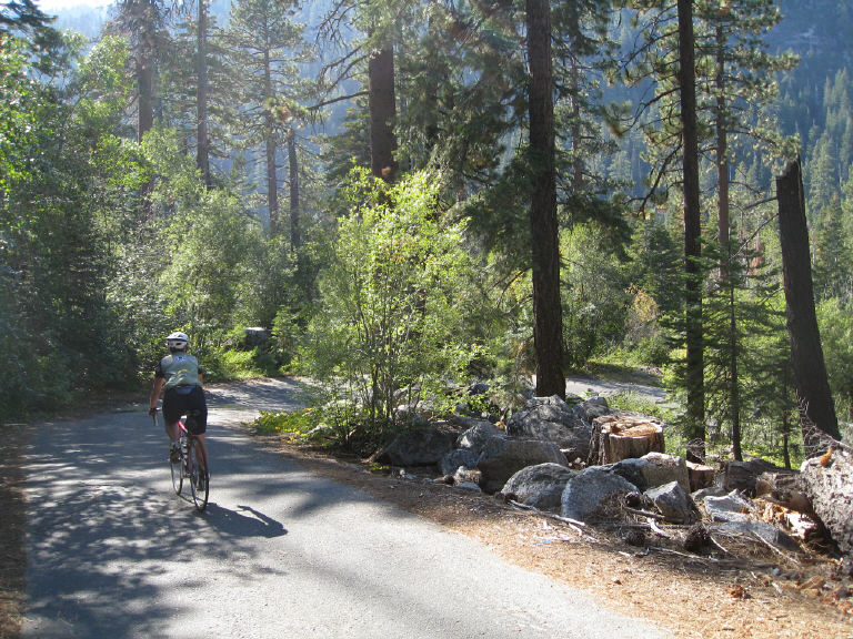
from the beginning of the old road. 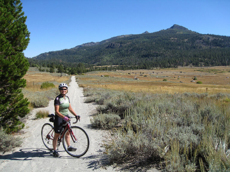 The old road was a narrow track of crumbling asphalt, with
vegetation encroaching and grass growing up in the middle. The track got
narrower, and more and more overgrown. It was steeper than the highway,
but it was a shortcut with no cars. We emerged onto Highway 89 at the top
of Luther Pass.
The old road was a narrow track of crumbling asphalt, with
vegetation encroaching and grass growing up in the middle. The track got
narrower, and more and more overgrown. It was steeper than the highway,
but it was a shortcut with no cars. We emerged onto Highway 89 at the top
of Luther Pass.
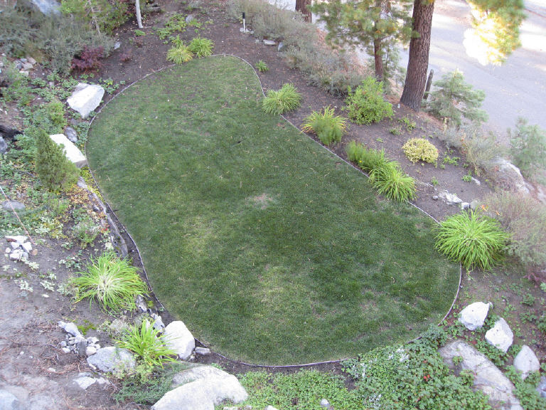
but not the putting green.
|
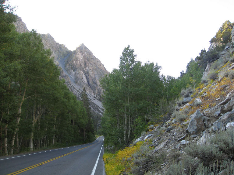
We pedaled over Luther Pass on Highway 89
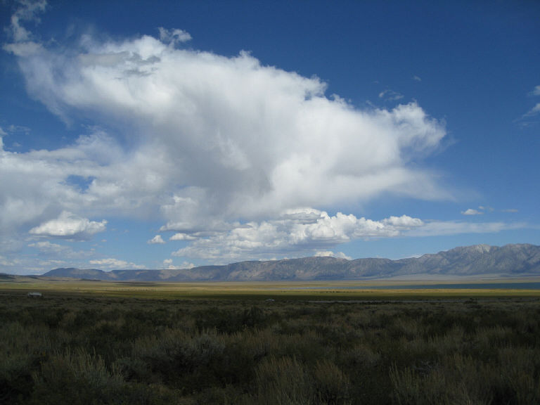
in the same direction we had gone Sept. 20, from South Lake Tahoe into Hope Valley. A short stretch of Highway 88 took us to Blue Lakes Road, which leads south into Faith Valley and then Charity Valley. 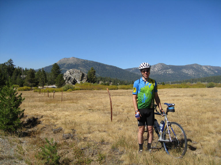
We didn't have time to get all the way to the lakes themselves. That is, Hope and Faith made for a full day; Charity will have to wait for another visit. 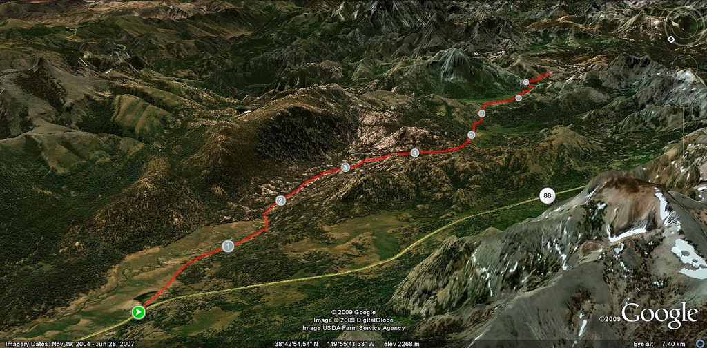
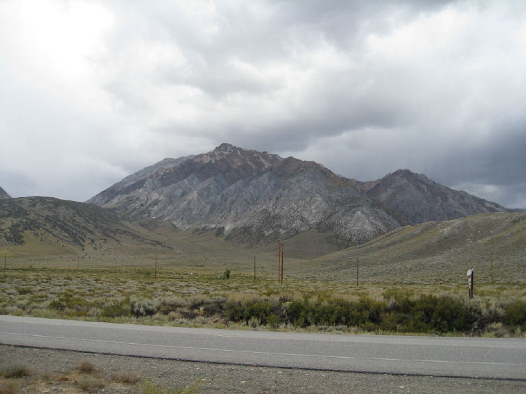
Blue Lakes Road is the red line on this map; we got to #5, which was 5 miles in.
on the Luther Pass descent back to South Lake Tahoe, too.
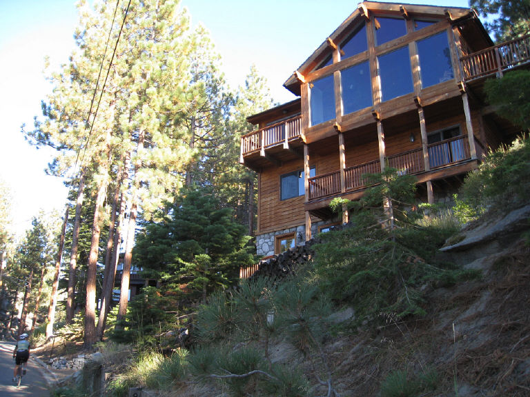
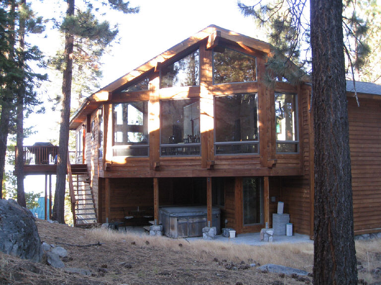
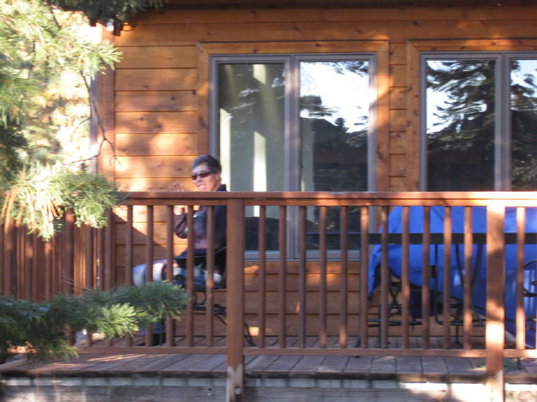
One last climb, up to the house.
|
|
Table of contents Map & elevation profiles Other adventures Click on any photo to enlarge it. |
LYNNE &
RICK Sept. 17-27, 2011 . 399 miles |

