| |
|
NEXT |
|
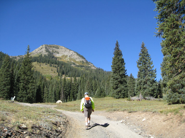
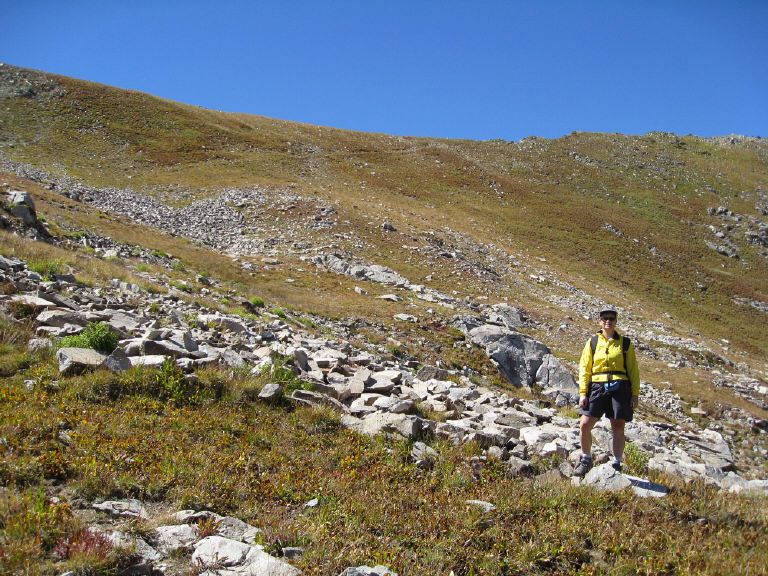
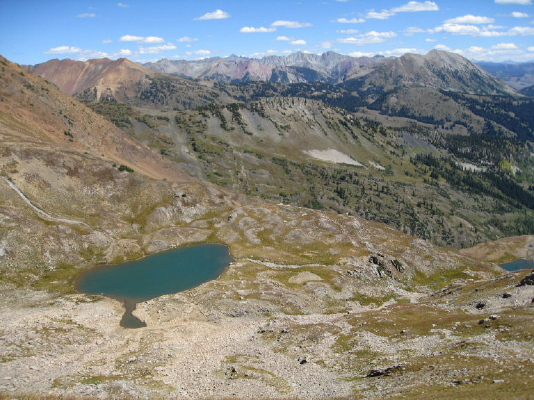
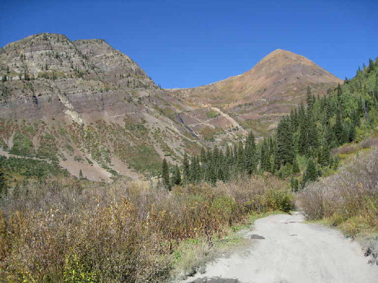
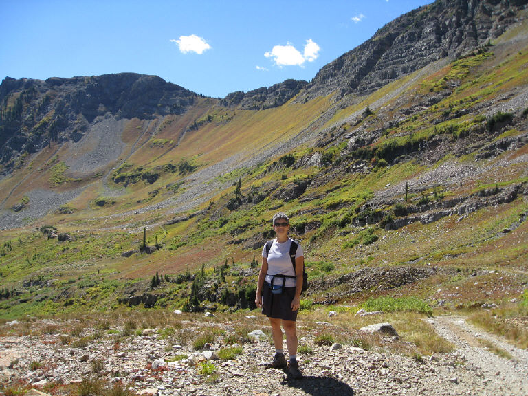
Tuesday, Sept. 14 We drove out Slate River Road until a stream crossing that was too much for our two-wheel drive, low-clearance rental car. We hiked up Poverty Gulch on the jeep road, then into Baxter Basin. We passed the trailhead for Daisy Pass and continued instead to Angel Pass. The hike was more than 10 miles round trip.
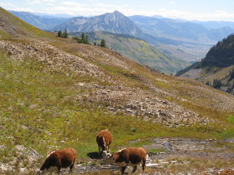
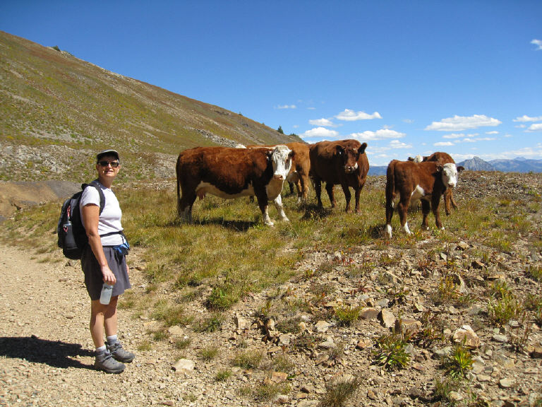
Cattle on the side of Cascade Mountain
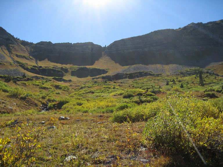
Above, Daisy Pass is the notch in the middle. 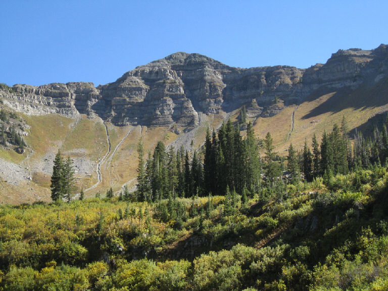
|
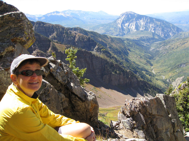
Angel Pass (12,104 feet)
Daisy Pass (11,656 feet) is just under the larger cloud. 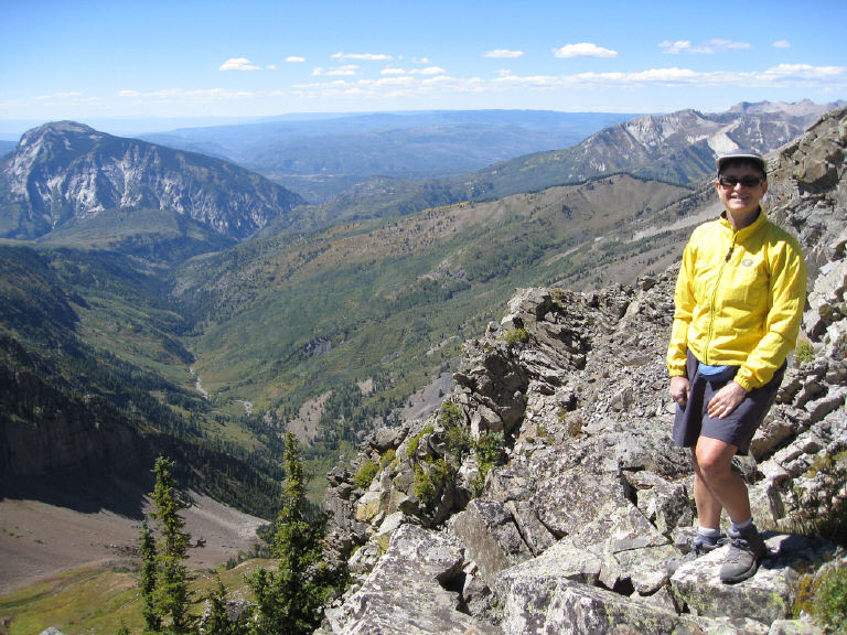
Angel Pass
Back at the Cristiana Guesthaus, we soaked
in the hot tub, with a view of Mount Crested Butte at sunset. 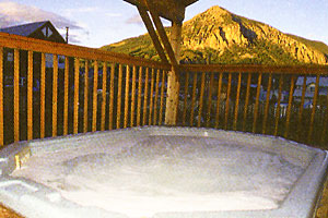
|
|
COLORADO HIKING
& MTB TRIP 2010 Table of contents Other adventures |
NEXT |