Thursday, Sept. 14
Road to Shimabara
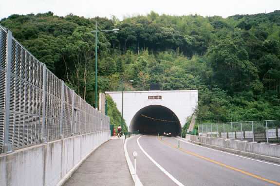
Getting out of Nagasaki was pretty straightforward. We were on
a wide sidewalk on Route 34, and the tunnels had sidewalks, too. After
a couple of long, steep, sweaty climbs, we could see the East China Sea
on our right.
 .
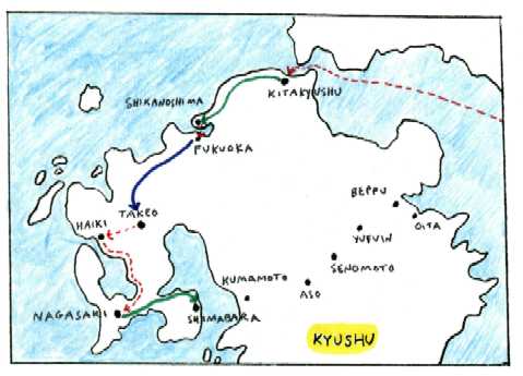
So far the green roads on our big map had proved more pleasant than
the pink highways, so despite the many switchbacks, we considered taking
the "green road" (in this case, that's actually what it's called locally)
across the mountainous Shimabara Peninsula. But when we stopped at a police
station to ask how to get to that road, an officer told us -- in the best
English we'd heard from a Japanese person -- that the "green road" was
newer and had more traffic. She said it would be safer on bikes to stick
to the peninsula's northern coast. The route was flat and we made good
time along the Ariake Sea.
.
So far the green roads on our big map had proved more pleasant than
the pink highways, so despite the many switchbacks, we considered taking
the "green road" (in this case, that's actually what it's called locally)
across the mountainous Shimabara Peninsula. But when we stopped at a police
station to ask how to get to that road, an officer told us -- in the best
English we'd heard from a Japanese person -- that the "green road" was
newer and had more traffic. She said it would be safer on bikes to stick
to the peninsula's northern coast. The route was flat and we made good
time along the Ariake Sea.
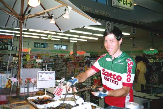
 In Shimabara, close to dusk, we bought prepared food, hot and cold,
at a supermarket, and got a town map at the train station.
In Shimabara, close to dusk, we bought prepared food, hot and cold,
at a supermarket, and got a town map at the train station.
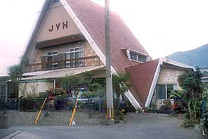
| We had 4 kilometers to go to the youth hostel --
in the dark, with rain starting. We arrived just before it started pouring.
Shimabara
Youth Hostel was smaller and homier than the last two hostels, and
after showering we had a relaxed take-out feast. The next morning we met
the only other guest, a man from Boston. |
 |
|
Shimabara
Youth Hostel
|
|