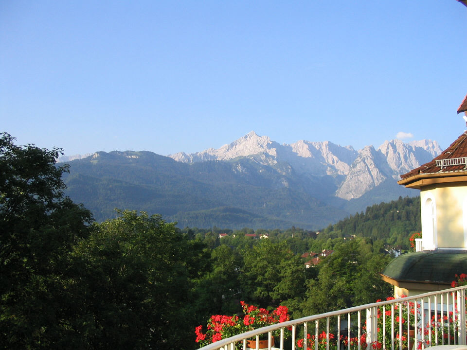
Wednesday, July 27
Garmisch-Partenkirchen to Fussen -- 40 miles
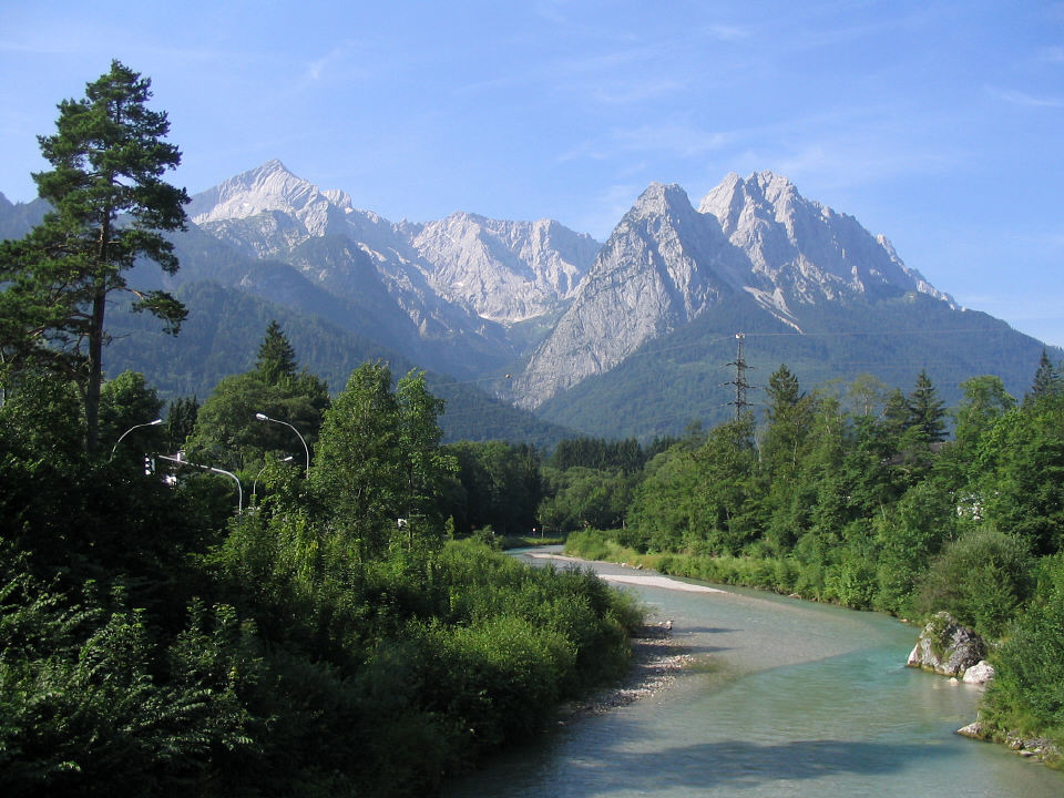
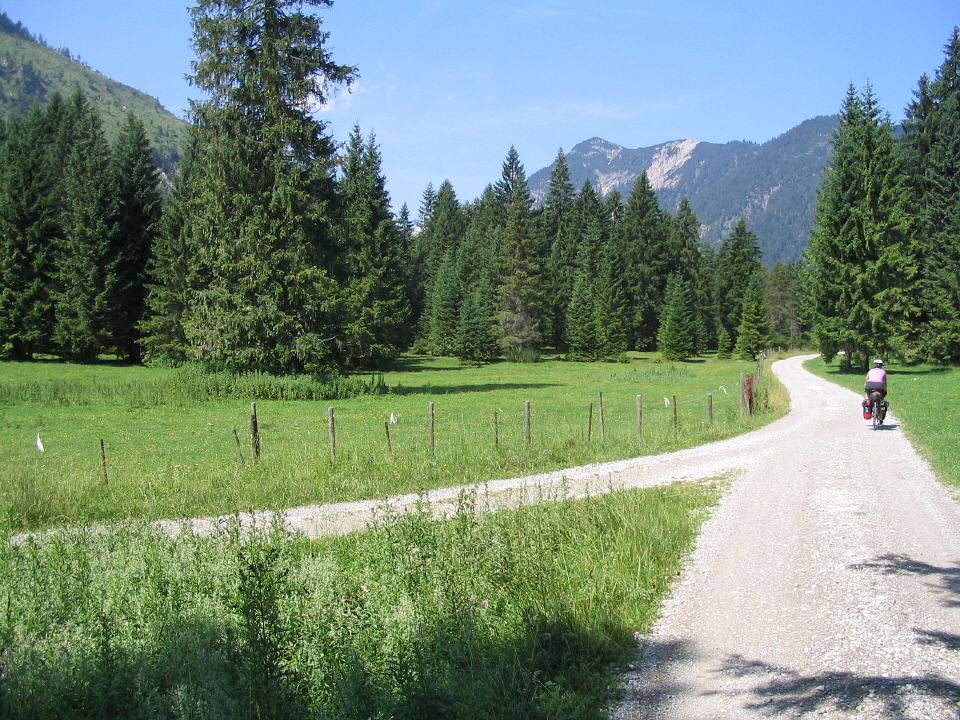
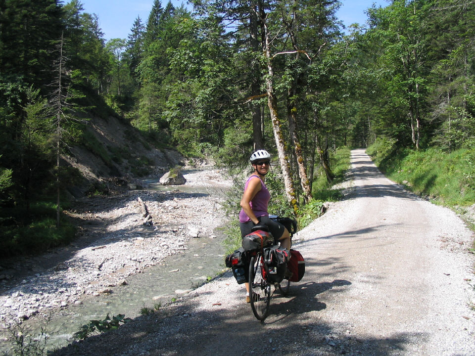
Before we hit the road we spent some time cleaning mud off
our bikes from the previous two days. The first leg of our route, to Griesen,
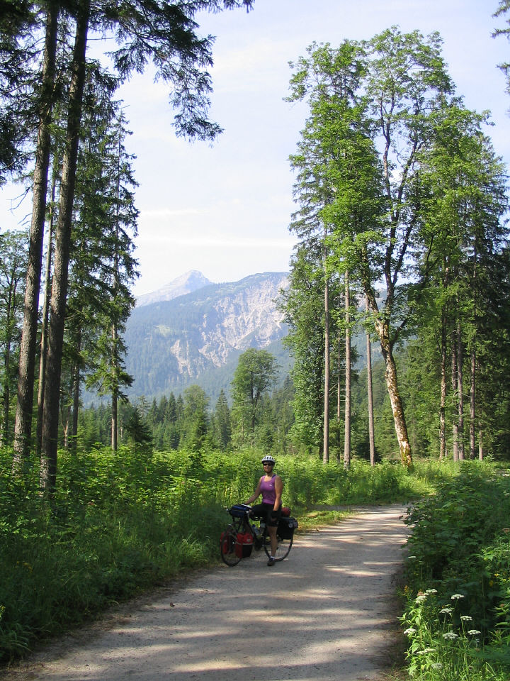
was mostly a paved path along the Loisach River.
|
|
|
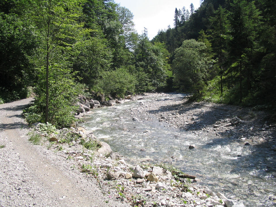
Loisach River
|
Loisach River
|
There was no border post where we left Griesen, and our map
did not show the Germany-Austria border. We assumed we were still in Germany.
|
|
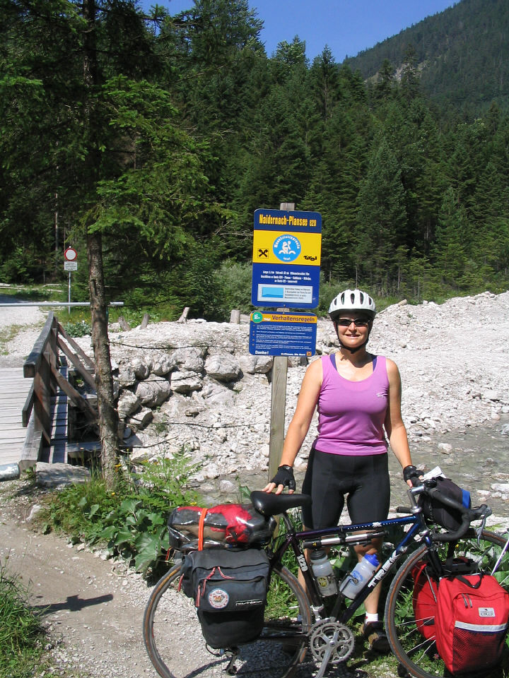
A sign with mountain biking rules and an elevation profile showed
the trail starting off with a steep climb.
|
|
|
Finally the trail flattened out.
|
|
|
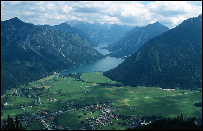
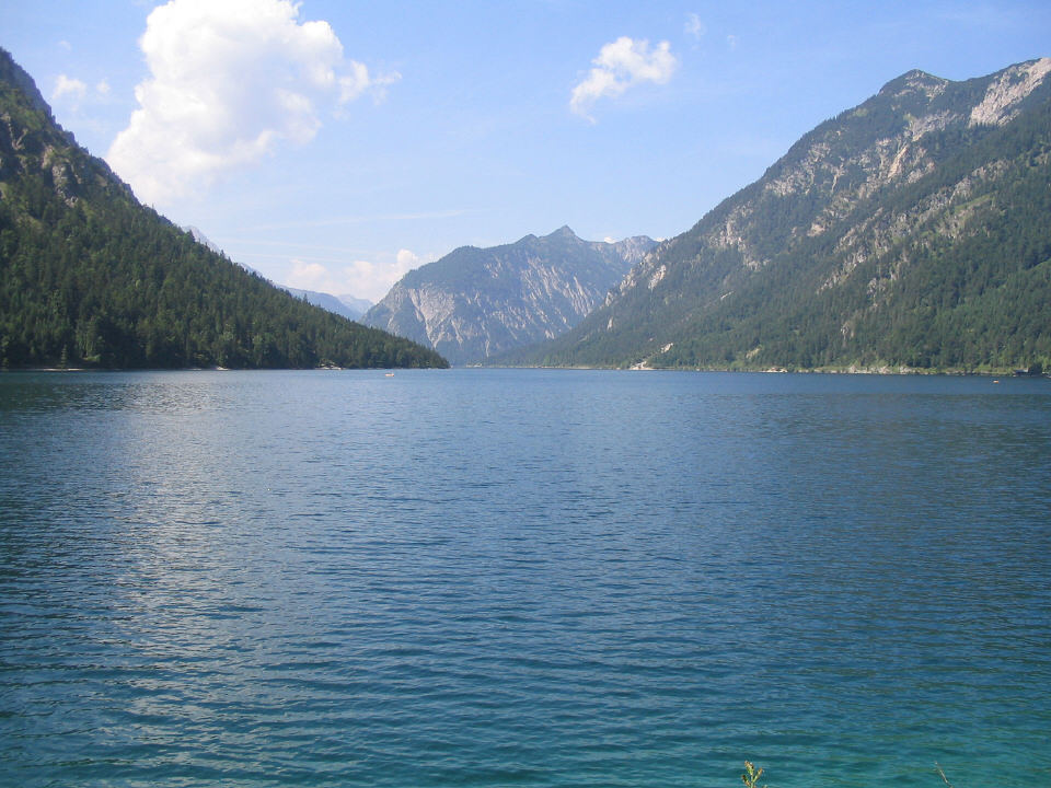
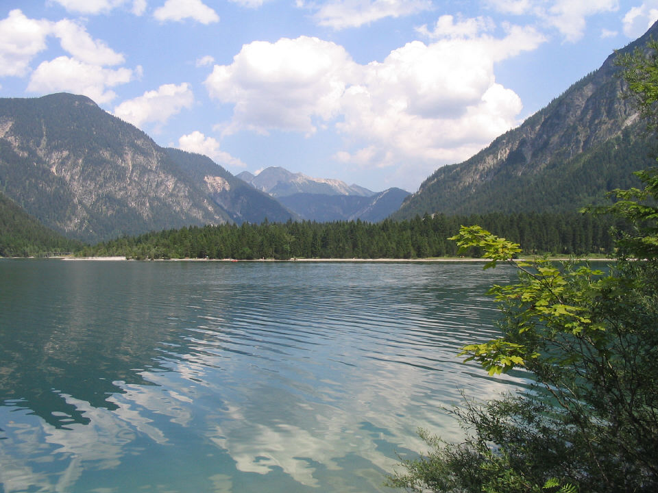
Plansee
|
|
|
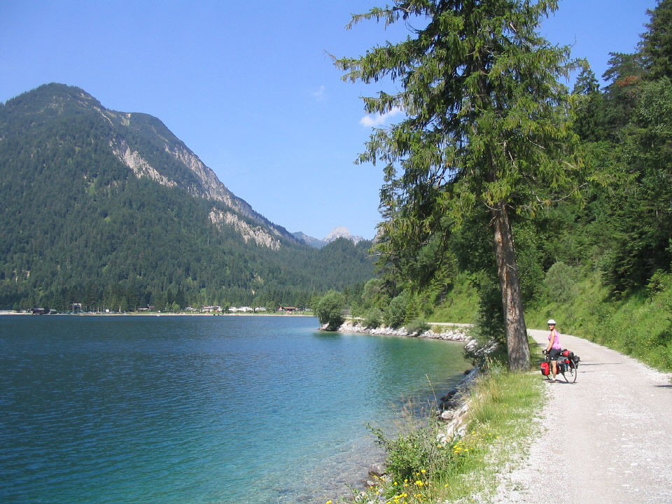
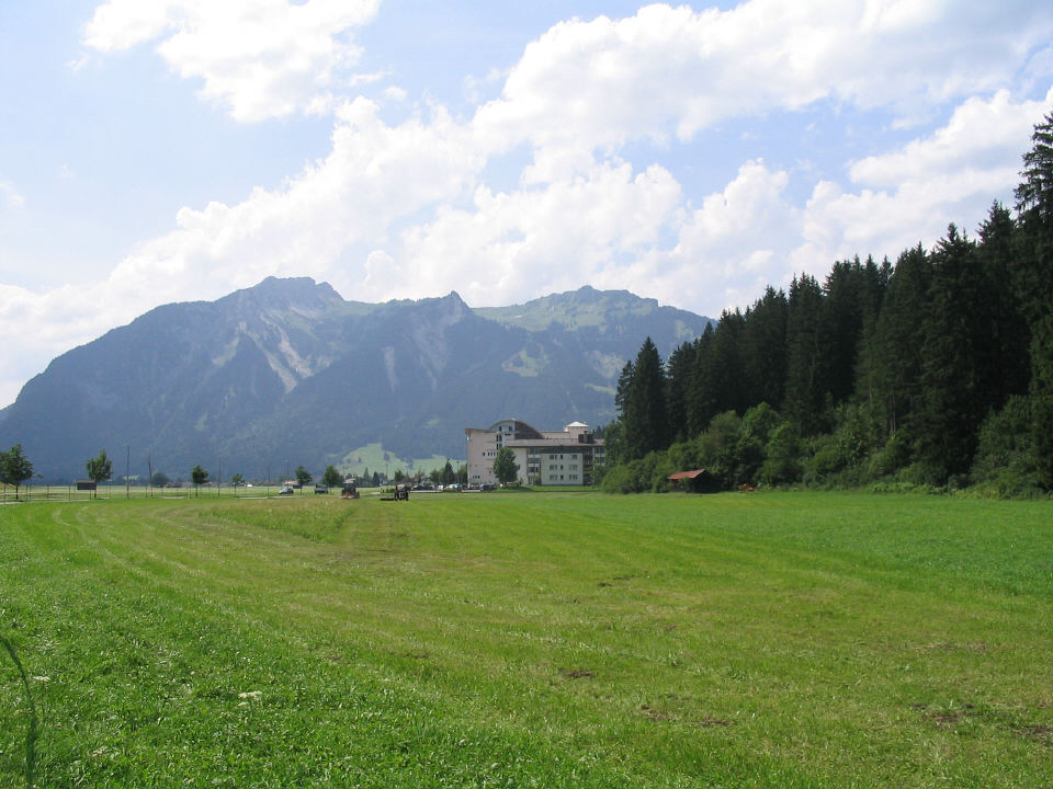
We followed the northern shore of the Plansee (left side of upper
lake in this photo) and then the southern shore of the connected lake,
Heiterwanger
See (right side of lower lake).
|
.
As we approached the narrow channel connecting the two lakes, the
path along the Plansee narrowed to shady singletrack with lots of tree
roots, and many people walking, so we had to dismount several times in
that half-mile or so.
|
|
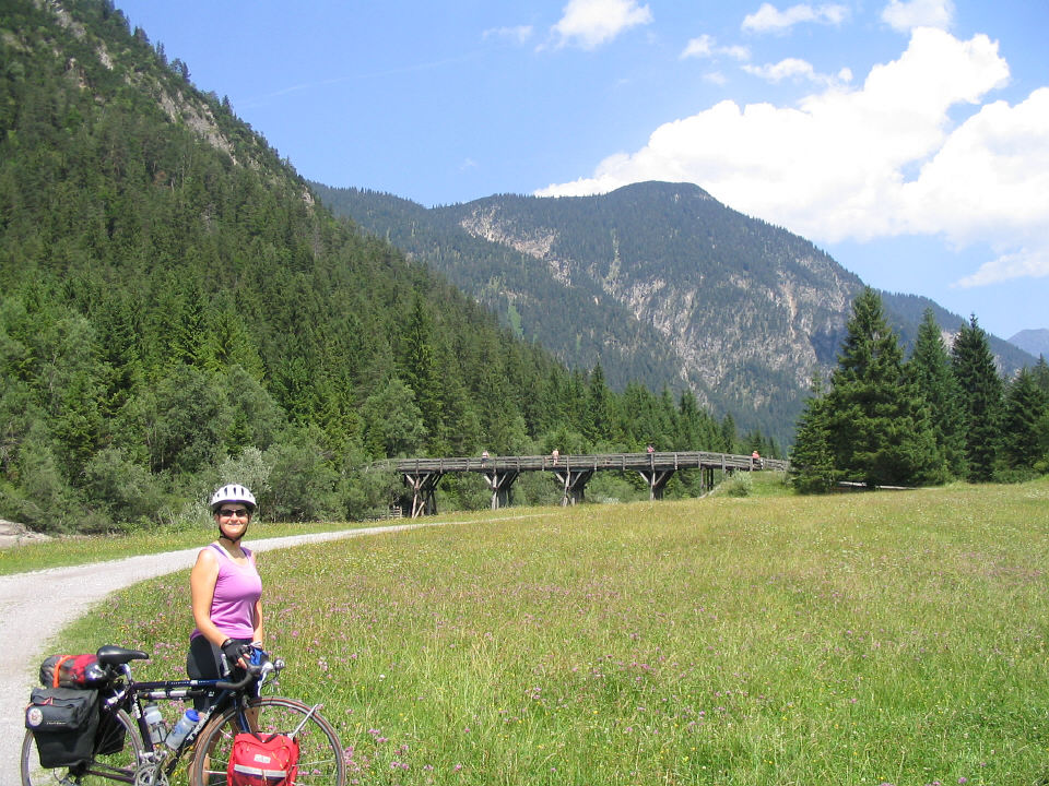
Bridge between Plansee and Heiterwanger See
|

|
|
Leaving the Panoramaweg (Panorama Way)
|
|
|
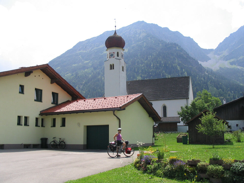
Town of Heiterwang
|
|
|
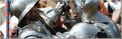
The village of Ehrenberg
was setting up
for a knights festival with jousting tournament, medieval marketplace,
Renaissance fair, etc.
|
In Reutte we concentrated on getting a snack from a bakery and a
local map from the tourist office. I noticed a Bank of Austria branch,
and things labeled "Tirol" instead of "Bayern," but I still thought we
were still in Germany.
|
|
|
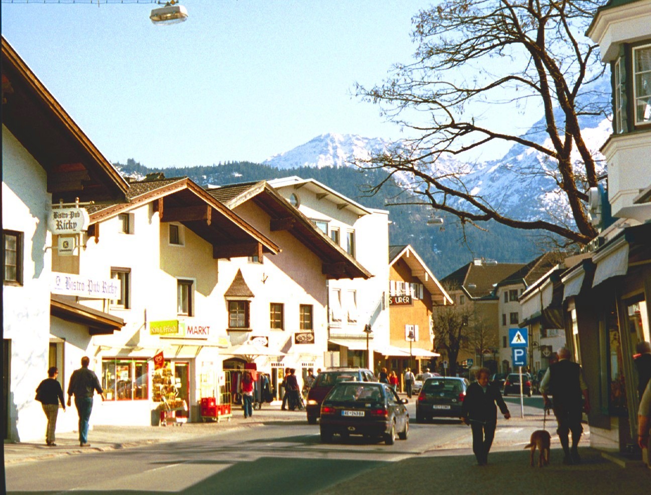
Reutte
-- not our photo (too much snow in the mountains to be late July), but
I do remember pointing out
Bistro-Pub Ricky (sign on left)
on this street.
|
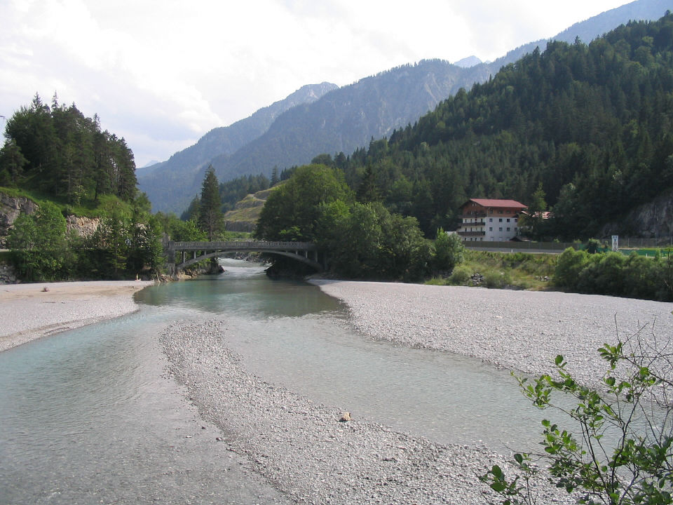
Lech River outside of Reutte
|
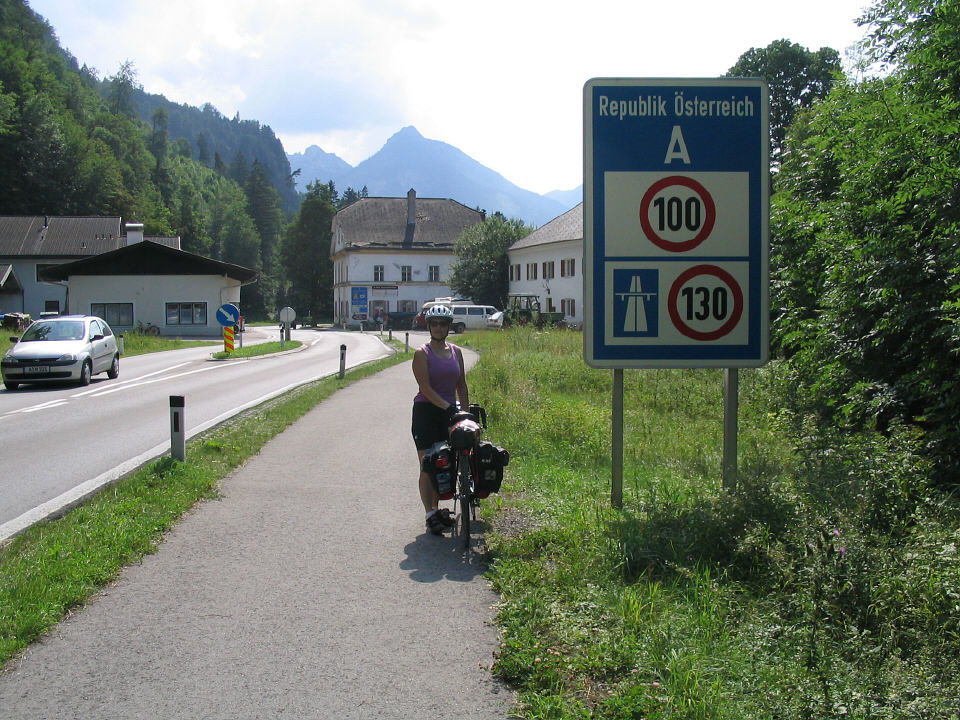 We came to a sign for Germany, looked back
and saw the sign for Austria.
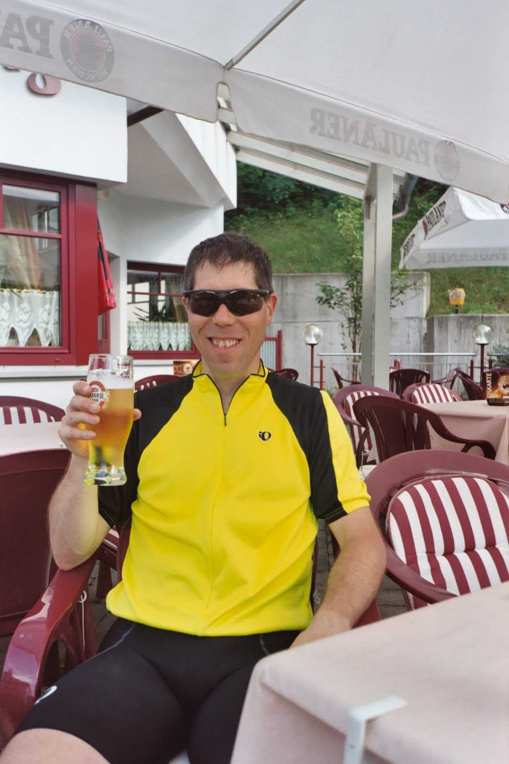
Rick thought the cafe at this border spot looked familiar
from his 1996 trip. And he was ready for a beer.
We came to a sign for Germany, looked back
and saw the sign for Austria.
Rick thought the cafe at this border spot looked familiar
from his 1996 trip. And he was ready for a beer.
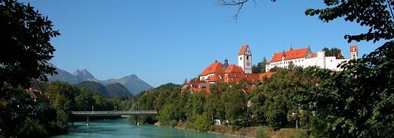 |
We checked in to Kurhotel Filser and, with hours of daylight
left, we walked all over Fussen.
But the camera batteries died, the spares were back at the hotel, and stores
were closed.
We ate at a sidewalk restaurant in Reichenstrasse, the main
pedestrian street. Check out the Reichenstrasse
webcam.
.
Another Fussen
link
|
|
|
|
The bike path from Griesen
south to Ehrwald, Austria,
looked inviting but indirect.
|
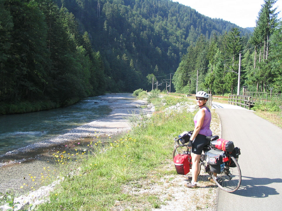
We chose the gravel trail heading west to Plansee (Plan Lake).
A couple carrying baskets
of freshly picked mushrooms assured us it was good for bikes.
It got pretty rough for our narrow tires, but we managed.
|
|
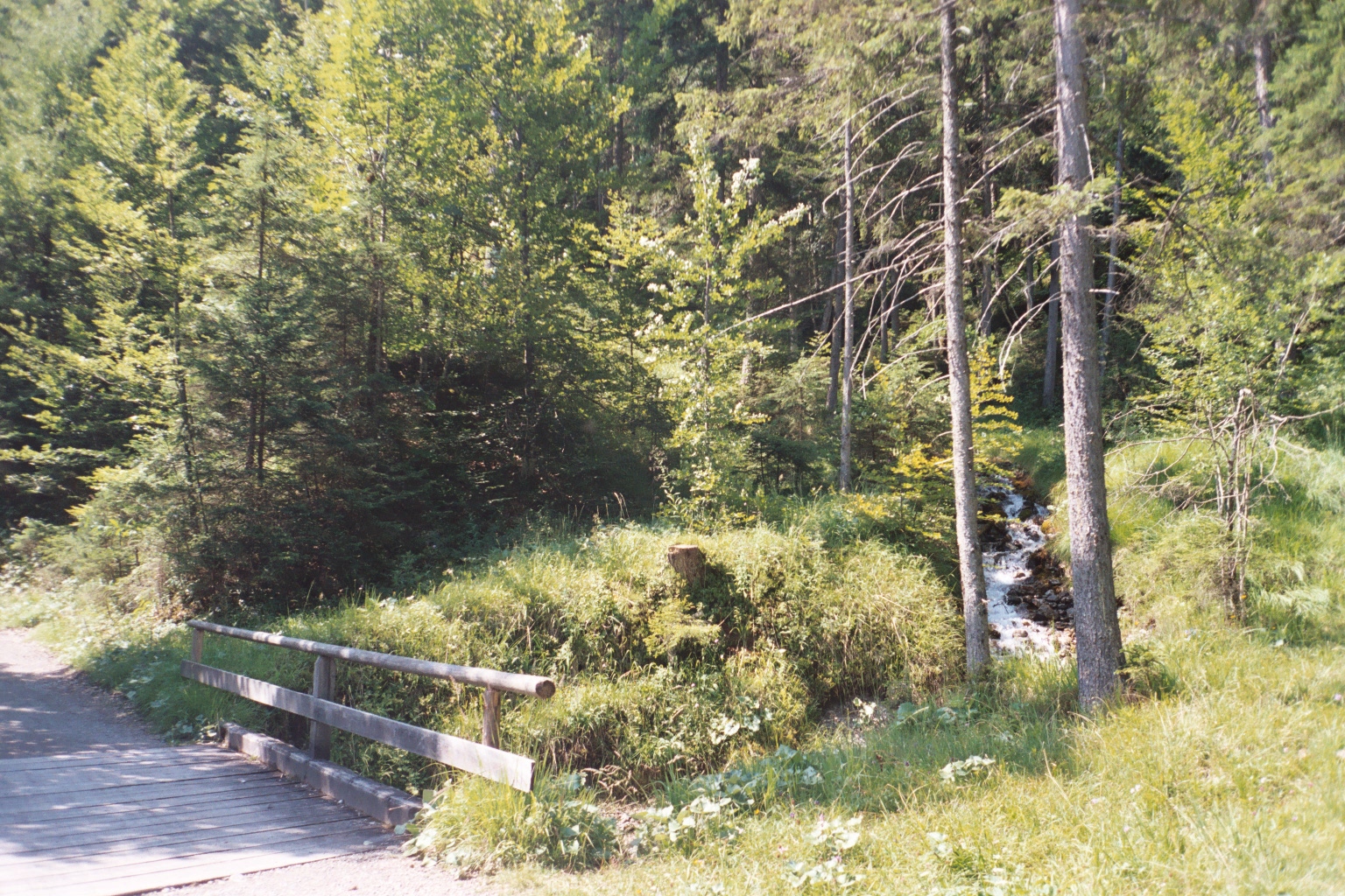
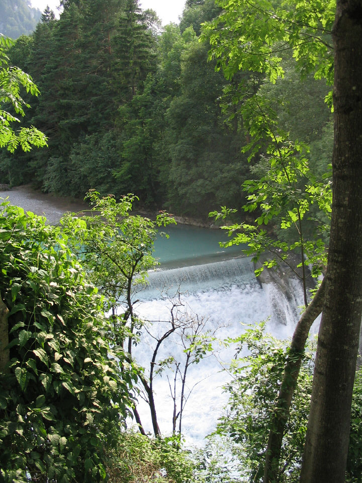
Where the trail started to climb steeply, I failed to get
into low gear and had to turn around and descend to the bridge to shift
properly. I took a picture of the waterfall while I gathered my wits for
another try.
.
Two Dutch mountain bikers, a father and grown-up son, went up ahead
of me. They caught up to Rick waiting for me where the trail leveled off,
and were able to tell him that I was OK.
|
|
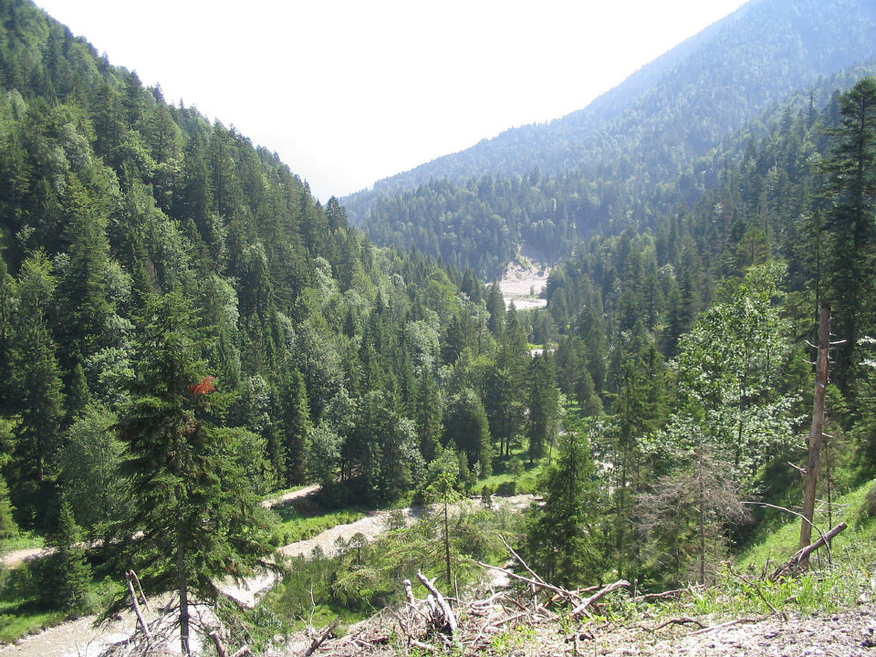
From the top we looked down
on the switchbacks
we had just climbed.
|
|
|
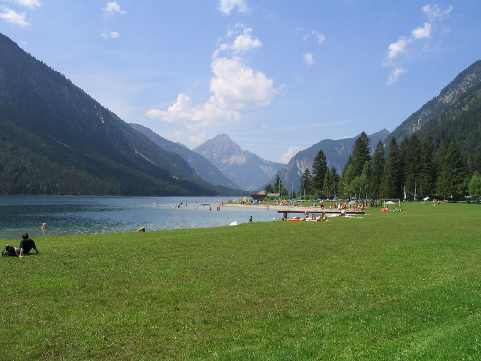
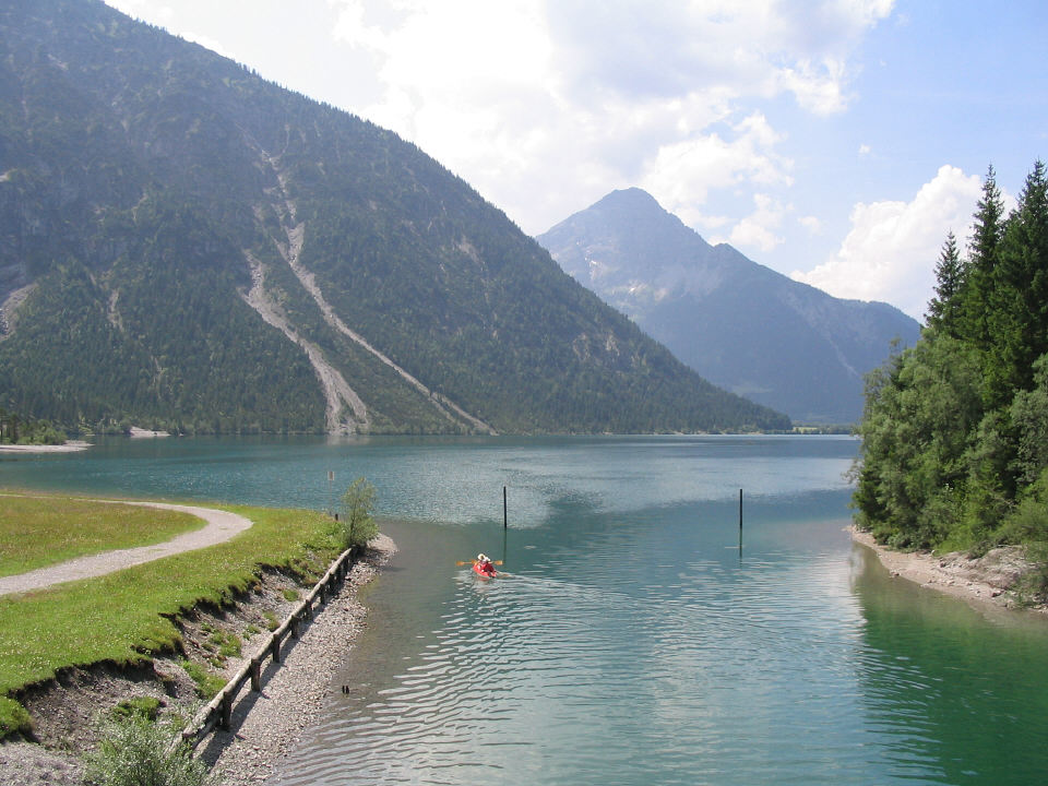
Plansee
|
|
We stopped for lunch at the Plansee campground and beach, then
continued following the shoreline.
|
|
|
Plansee
|
|
|
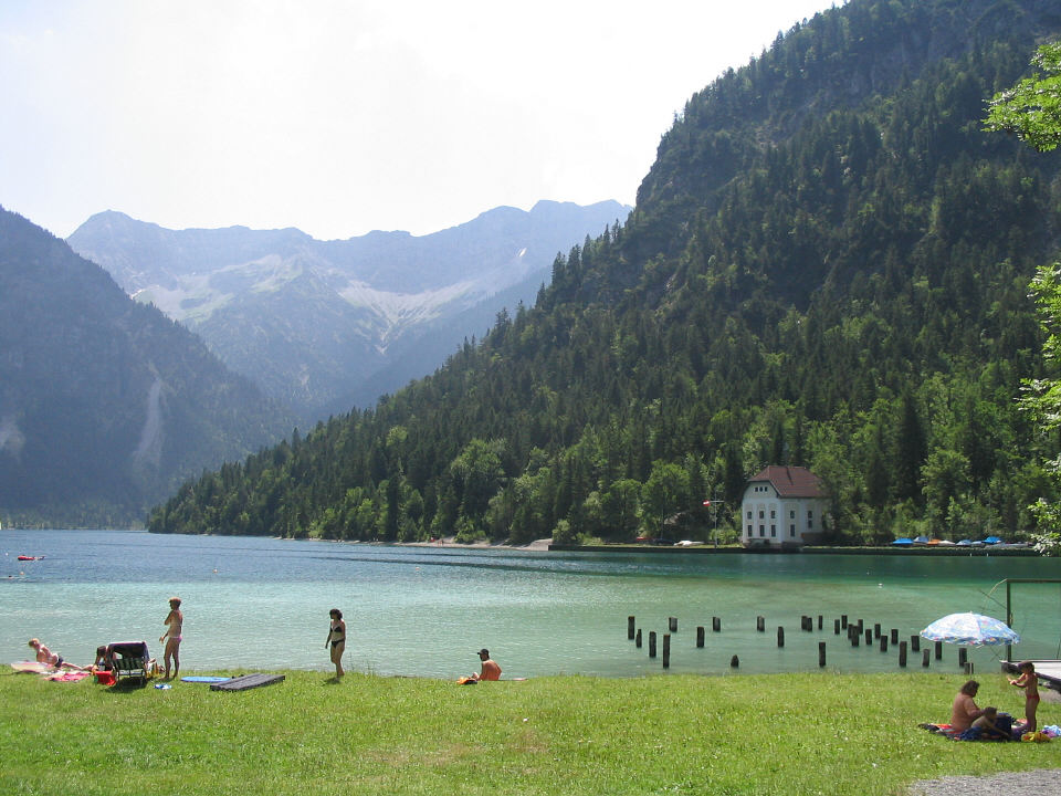
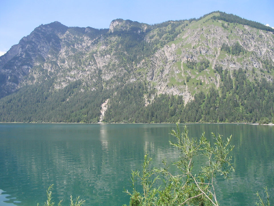
Heiterwanger See
|
|
|
Heiterwanger See
|
|
|
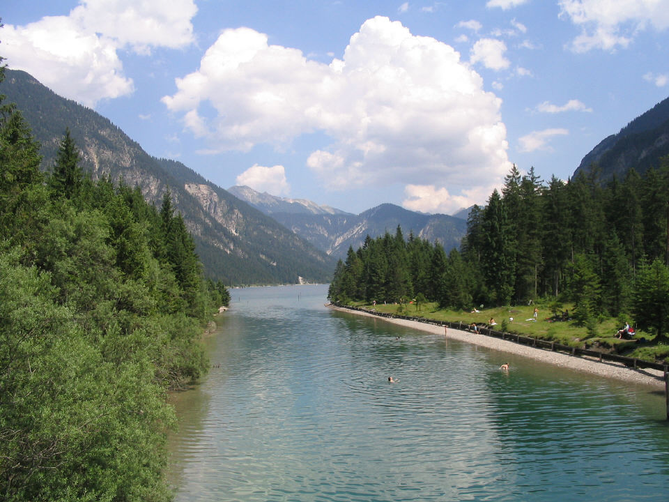
The trail by Heiterwanger See
is called the Panoramaweg
|
|
The bike path leaving Heiterwang looked good, but it quickly
petered out, and the road looked dangerous.
 We ended up riding across a grassy field and heaving the
bikes
-- panniers and all --
over a split-rail fence where we finally spotted the path again.
We ended up riding across a grassy field and heaving the
bikes
-- panniers and all --
over a split-rail fence where we finally spotted the path again.
|
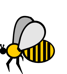
Due credit: Rick did the heavy lifting. He also dispatched
a bee
that wouldn't
leave me alone.
|
 |
Apparently we should have gone up a steep but paved side
street, marked only by a sign for a biergarten, and picked up the path
at the biergarten.
|
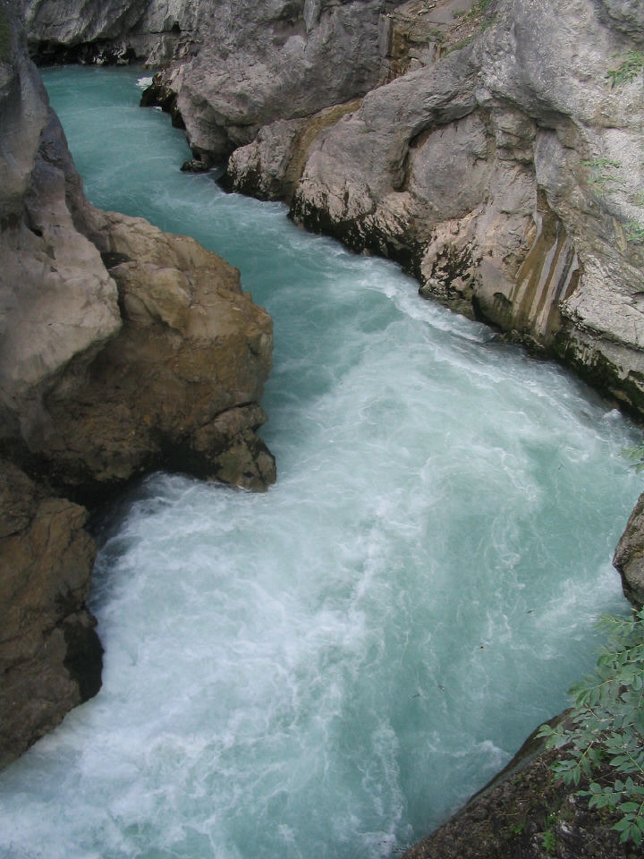
 Lech Falls, outside of Fussen
near the Austrian border
Lech Falls, outside of Fussen
near the Austrian border
|
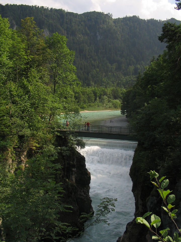 Bridge at Lech Falls.
|
|
|
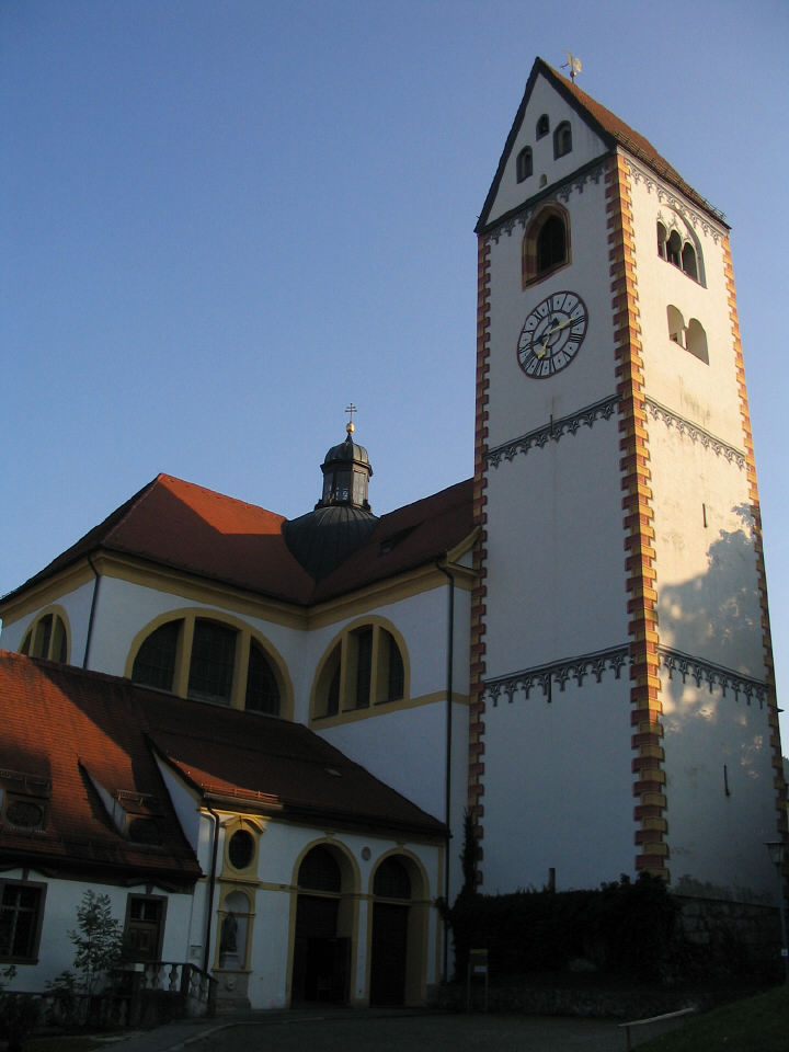
St. Mang Abbey
|
|